


In commemorating the 10th years Aceh Tsunami disaster on 26 December 2004, Research Center for Disaster Mitigation-Bandung Institute of Technology (RCDM-ITB) in cooperation with Indian Ocean Tsunami Information Center (IOTIC)-IOC-UNESCO-Jakarta Office conducted training activity entitled “Capacity Building on Disaster Risk Assessment: Tsunami Hazard”, on 16-20 June 2014 at ITB Campus, Bandung.
The training aims to increase the capacity of local government officers from Local Disaster Management Offices (BPBD), Local Planning and Development Offices (BAPPEDA), and public works agency, as well as universities, in five cities in Indonesia for developing city-level tsunami risk map. The five selected cities are Bandar Lampung, Cilegon, Mataram, Palu, and Ambon. Built on this training, those five cities are expected to conduct their own tsunami risk assessment and produce tsunami risk map, and later on, assistance will be provided to mainstream tsunami risk assessment into local policy.
The most important result is all of the participants get motivated and committed to conduct follow up action by preparing tsunami disaster risk assessment and tsunami risk maps. To this end, close communication of RCDM-ITB, UNESCO, and participants are needed to ensure the continuity between training outputs and manifestation in the form of city tsunami risk map.
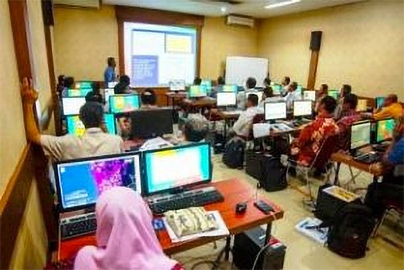
One of the lectures was Tsunami Risk Mapping. This session taught the participants the basic knowledge and skills in the mapping process and provided the opportunity to practice and produce hazards, vulnerability, and risk maps using GIS (Geographic Information System) software.
Tsunami Risk Mapping using GIS (Geographic Information System) software
Having intense lectures and workshops on the first two days of the training, Day 3 offered participants a chance to go to the field and conduct real vulnerability data gathering and analysis during the excursion session through an approach called Town-Watching.
In addition to tsunami risk assessment, impact analysis is also important in responding to natural disasters; especially for planning, preparedness, and response activity. Impact analysis can provide the scenario to face the natural disaster. Such scenarios can be based on population density, building, and critical infrastructure.
As the concluding part of the training, participants from the same city were asked to develop a Follow-up Plan as concrete steps for them to develop the city’s own tsunami risk map in the span of six months.